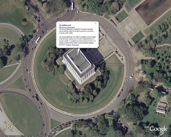
Google Earth is a free software download for PCs (WinXP) and now Macs (OS 10.4) that allow you to view actual satellite images of most locations on Earth. From Google: "You point and zoom to anyplace on the planet that you want to explore. Satellite images and local facts zoom into view. Tap into Google search to show local points of interest and facts. Zoom to a specific address to check out an apartment or hotel. View driving directions and even fly along your route."
Check it out at: http://earth.google.com/
No comments:
Post a Comment